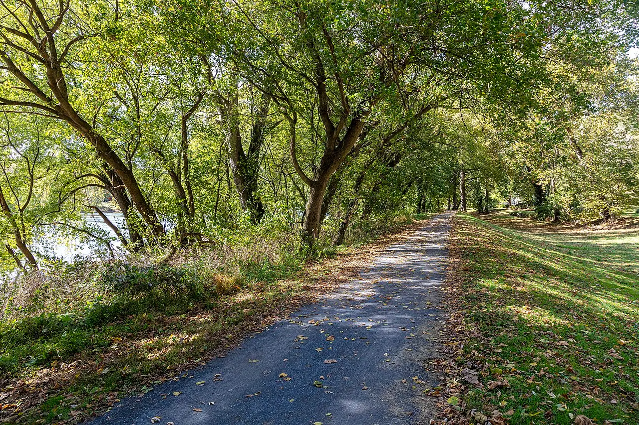
C&O Canal Towpath
Trail
Potomac, Maryland
What the source states
- FreeV3 places.json tag (public park, library, trail, station plaza or outdoor artwork per its open-data record)
- Outdoorinherent: trail
Source
- From
- Montgomery Parks (M-NCPPC) Trail Units layer, Montgomery County Planning open data hub
- Licence
- M-NCPPC open data (AS-IS notice; no separate reuse grant stated)
- Checked
- Nov 13, 2026
- Location
- 39.02110, -77.23740 (approximate point)
- Photograph
- Acroterion, CC BY-SA 4.0, via Wikimedia Commons
Hours and fees are not listed here: check the official page before you go.
Is this your place? Claim or fix this pageReport a problem
Independent project, not affiliated with Montgomery County Government. Distances are straight-line.